
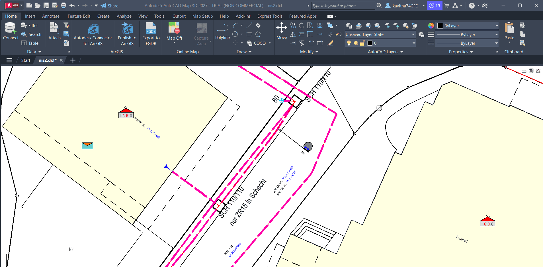
From DXF to GIS
Turn CAD drawings into usable GIS data, preserve styling where supported, and bring the results into QGIS.
- DXF / DWG
- PostGIS
- GeoPackage
- QGIS
GIS DATA WORKFLOW
Walk through matching, Auto Mapping, and export steps that help move Smallworld data into PostGIS, with Python as a possible downstream analysis stage — not a built-in X-Translator feature.
The problem
Organizations often need to transfer data from an established Smallworld environment into a modern platform while handling attribute mapping, identification, and subsequent analysis.
Why SEPM
SEPM products support structured steps — identification, mapping review, export — rather than a single opaque migration button.
Relate source and target entities where Connect-ID applies to your migration scenario.
Let Auto Mapping propose attribute pairs, then refine mappings yourself before export.
Transfer prepared data into PostGIS as the modern storage target for your program.
Use Python scripts on exported data for validation or analytics — as a separate step from the transfer itself.
Demonstration
Follow the process, from the initial data to the final result.
Define the Smallworld source and PostGIS target involved in your migration scope.
Apply Connect-ID where it fits to align records or features between environments.
Use Auto Mapping to suggest mappings, then review and adjust proposed attribute pairs.
Run the export transfer to load prepared data into PostGIS.
Optional Python scripts can validate or analyse exported datasets outside the core transfer UI.
Expected outcome
You gain a documented path from Smallworld through mapping and export into PostGIS — ready for open tooling and optional Python workflows, with human review at the critical steps.
Turn CAD drawings into usable GIS data, preserve styling where supported, and bring the results into QGIS.
Use CSV or Excel data to identify and update the right GIS features without relying on complicated manual update procedures.
Move structured Excel data into PostGIS with mapping and validation — so tabular inputs become database-ready spatial or attribute data where the workflow supports it.
Tell us how your GIS data moves today. We'll help you explore a practical way to improve it.
Talk to SEPM