
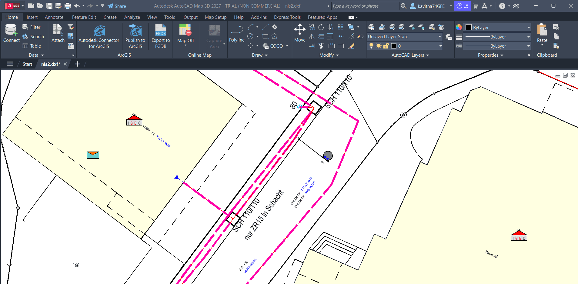
From DXF to GIS
Turn CAD drawings into usable GIS data, preserve styling where supported, and bring the results into QGIS.
- DXF / DWG
- PostGIS
- GeoPackage
- QGIS
Workflows
Explore how SEPM connects GIS systems, transforms spatial data, and simplifies everyday workflows — from CAD drawings to modern GIS platforms and automated data updates.
Turn CAD drawings into usable GIS data, preserve styling where supported, and bring the results into QGIS.
Use CSV or Excel data to identify and update the right GIS features without relying on complicated manual update procedures.
Move structured Excel data into PostGIS with mapping and validation — so tabular inputs become database-ready spatial or attribute data where the workflow supports it.
Explore a workflow combining Connect-ID, automated mapping, data export, and Python-based analysis.
SEPM workflows show how products, formats, and features work together to solve real operational problems — not isolated feature lists.
Connect data sources, target platforms, and existing GIS environments.
Simplify repetitive data preparation, matching, and update processes where the workflow supports it.
See the tools, intermediate steps, and results instead of relying on feature lists alone.
Tell us how your GIS data moves today. We'll help you explore a practical way to improve it.
Talk to SEPM