
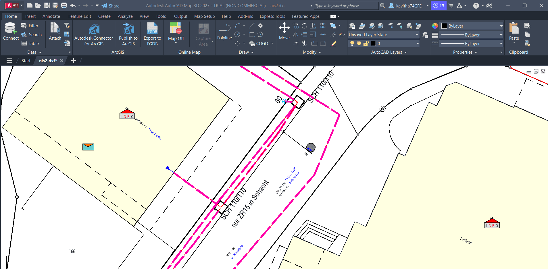
From DXF to GIS
Turn CAD drawings into usable GIS data, preserve styling where supported, and bring the results into QGIS.
- DXF / DWG
- PostGIS
- GeoPackage
- QGIS
GIS DATA WORKFLOW
See how CSV or Excel records can be matched to existing GIS features using Connect-ID, then applied through a workflow you can run again when new data arrives.
The problem
Teams often receive attribute or status updates in spreadsheets while the authoritative geometry lives in GIS — matching the two is repetitive and error-prone.
Why SEPM
Connect-ID helps align incoming records with GIS features so updates can follow a defined process instead of ad hoc edits.
Use Connect-ID to relate spreadsheet rows to the corresponding GIS features according to the supported identification workflow.
Work from familiar tabular sources; preparation and column mapping still matter before updates are applied.
Once configured, the same workflow can support recurring data drops — subject to your data model and validation rules.
Inspect matches and outcomes so corrections happen before updated data reaches production systems.
Demonstration
Follow the process, from the initial data to the final result.
Start with a CSV or Excel file containing the records you need to apply to the GIS.
Use Connect-ID to match incoming rows with the appropriate GIS features.
Run the configured transfer so matched records update the relevant attributes or linked data.
Validate updated features and resolve exceptions before wider publication.
Expected outcome
Spreadsheet-driven changes reach the right GIS features through a documented workflow — reducing repetitive editing while keeping you in control of validation.
Turn CAD drawings into usable GIS data, preserve styling where supported, and bring the results into QGIS.
Move structured Excel data into PostGIS with mapping and validation — so tabular inputs become database-ready spatial or attribute data where the workflow supports it.
Explore a workflow combining Connect-ID, automated mapping, data export, and Python-based analysis.
Tell us how your GIS data moves today. We'll help you explore a practical way to improve it.
Talk to SEPM