
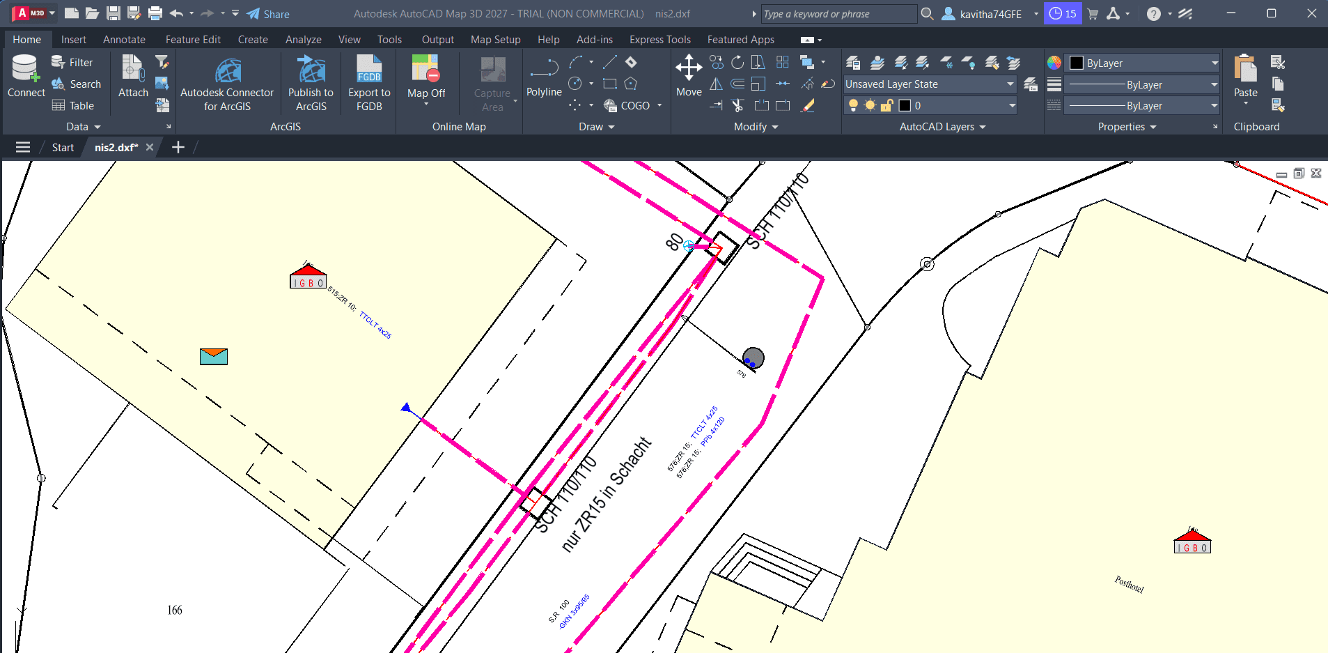
From DXF to GIS
Turn CAD drawings into usable GIS data, preserve styling where supported, and bring the results into QGIS.
- DXF / DWG
- PostGIS
- GeoPackage
- QGIS
GIS DATA WORKFLOW
Follow a transfer workflow that connects Excel as a source to PostGIS as a target, including mapping and validation — depending on your data model and supported product configuration.
The problem
Teams often maintain records or attributes in Excel while the operational store lives in PostGIS. Manual copy-paste does not scale and is hard to repeat when files change.
Why SEPM
X-Translator supports a defined Excel-to-PostGIS transfer path — configure the connection, map fields, run the job, and review outcomes rather than improvising each time.
Work from familiar workbook structures; column preparation and data types still need to match what the transfer expects.
Load into your PostgreSQL/PostGIS environment so downstream GIS and analytics can use the same database.
Define how source fields map to target attributes — and adjust mappings when the schema or file layout changes.
Review transfer results and resolve exceptions before relying on the updated tables in production.
Demonstration
Follow the process, from the initial data to the final result.
Start with the workbook and sheets that contain the data to transfer, with columns ready for mapping.
Configure the PostGIS target connection according to your supported deployment.
Match Excel fields to PostGIS tables and attributes, then review the proposed mapping.
Execute the configured workflow to load data into PostGIS.
Inspect loaded rows or features and correct issues before wider use.
Expected outcome
Excel inputs can follow a documented transfer into PostGIS instead of ad hoc imports — with mapping and review built into the process.
Turn CAD drawings into usable GIS data, preserve styling where supported, and bring the results into QGIS.
Use CSV or Excel data to identify and update the right GIS features without relying on complicated manual update procedures.
Explore a workflow combining Connect-ID, automated mapping, data export, and Python-based analysis.
Tell us how your GIS data moves today. We'll help you explore a practical way to improve it.
Talk to SEPM