
Service 03 · Advise
Technical Consulting, Solution Architecture & Requirements Engineering
Clarity Before Code.
Advisory, technical design and analysis before and during implementation. SEPM provides specialised technical consulting for utilities, engineering firms and GIS implementation partners — turning mandates, standards and difficult third-party data into architectures that work.
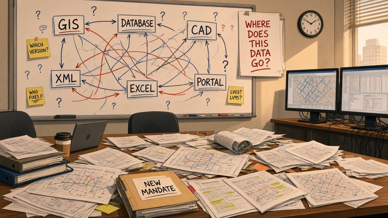
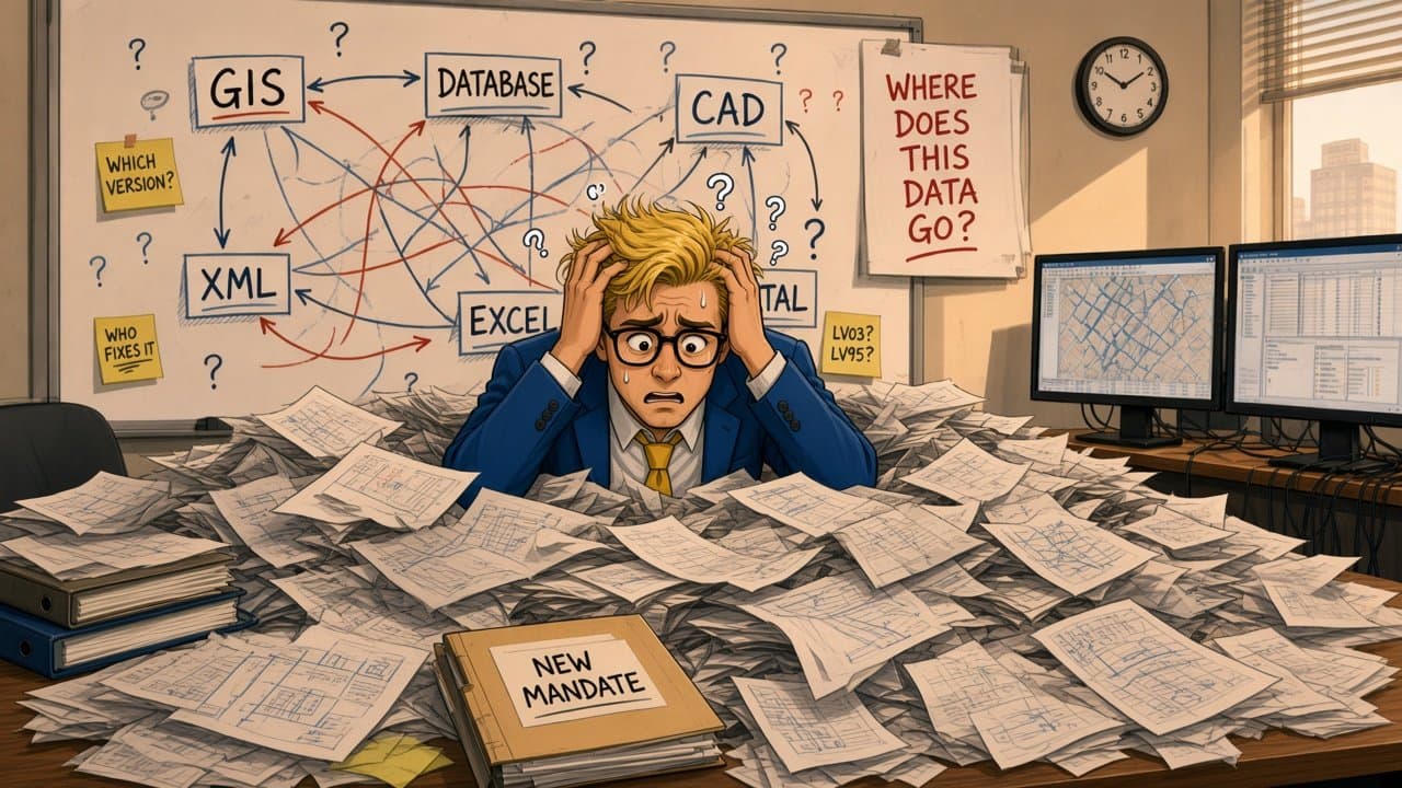
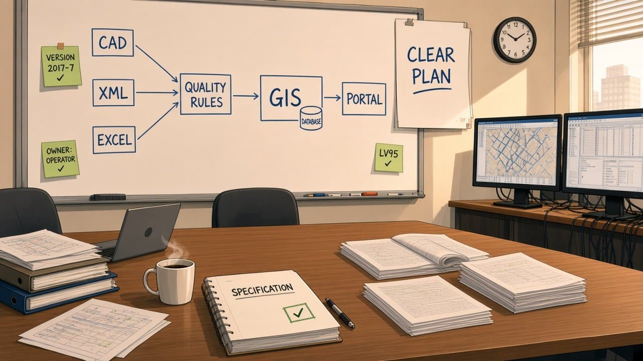
A new mandate, many systems, and nobody knows where the data goes.
Every answer raises three new questions.
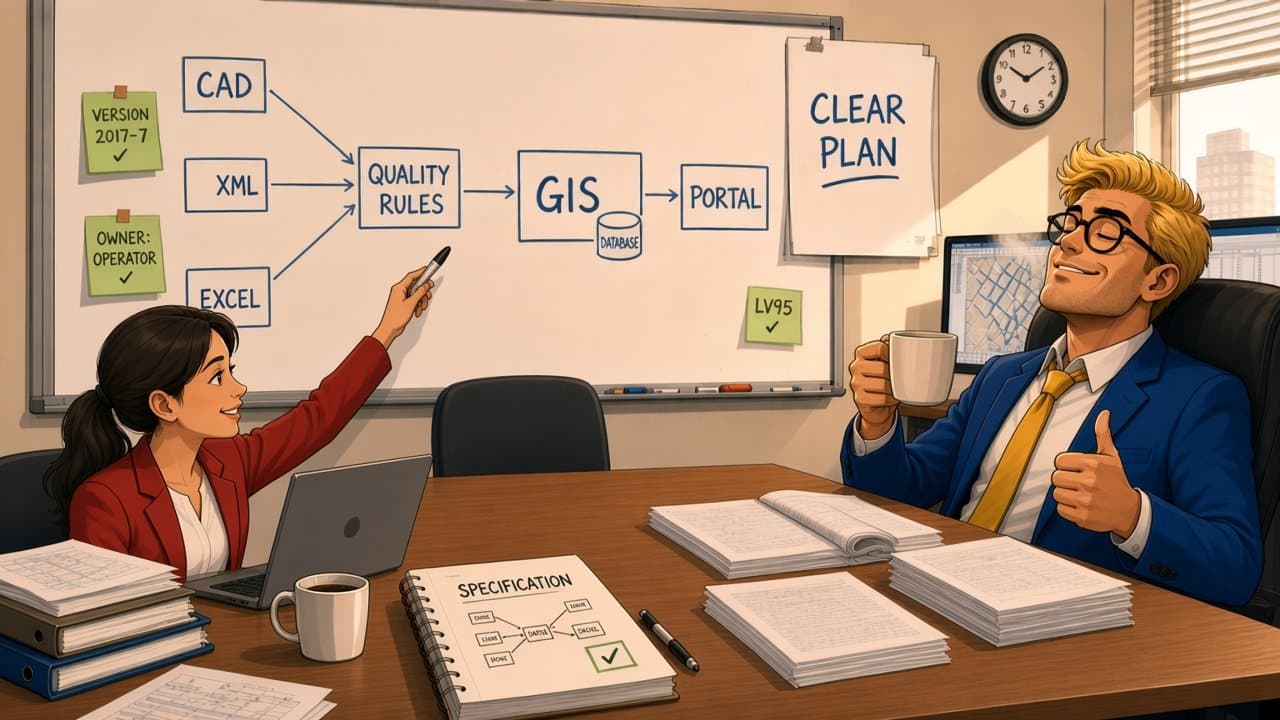
SEPM turns the questions into one clear architecture.
Clear data flow. Clear rules. Every open question answered.
Different systems. One workable solution.
Scope
Where We Advise.
Four areas of advisory work, from the first feasibility question to long-term data governance.
Requirements Engineering & Specification
Legal mandates, industry standards and client workflows translated into formal technical specifications.
- SIA 405
- ISYBAU
- INTERLIS
- BIM/IFC
Solution Architecture & Data-Flow Design
Multi-tier architectures, transformation pipelines and interface topologies between Smallworld and external platforms.
- Smallworld
- GIS · CAD · BIM
- Portals
Format Feasibility & Compatibility
Incoming CAD, XML, Shape and INTERLIS data analysed for gaps and schema mismatches — with clear cleanup rules.
- CAD
- XML
- Shape
- INTERLIS
Process & Quality Standards
Spatial data quality rules, geometry policies such as polygon topology and coordinate precision, and the governance processes around them.
- Topology
- Precision
- Governance
Capabilities
What Our Advice Delivers.
- Requirements engineering
- Technical approachLegal and industry standards (SIA 405, INTERLIS, IFC) translated into actionable mapping matrices
- Benefit to youNo ambiguity between mandates and software implementation.
- Solution architecture
- Technical approachEnd-to-end exchange pipelines connecting GIS, CAD, BIM and regulatory portals
- Benefit to youScalable interfaces that fit your existing enterprise systems.
- Data quality & governance
- Technical approachExplicit spatial tolerances, geometry validation standards and error-handling workflows
- Benefit to youInvalid spatial data kept out of production GIS.
- Innovation & R&D advisory
- Technical approachPilot projects such as GIS-to-BIM using 3D elevation models and LiDAR
- Benefit to youEarly, informed adoption of open standards.