
Service 02 · Migrate
GIS Data Migration, Conversion & Automated Import/Export
Move Data Across Systems — Once or Every Night.
This is SEPM's core operational engine: high-volume transfer, translation and restructuring of spatial and tabular data across systems, formats and database structures. With SEPM X-Translator, SEPM X-Raster and dedicated database connectors, we run complex one-off migrations as well as fully automated, headless batch conversions.


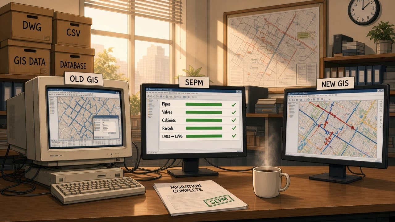


Decades of network data, stuck in the old system.
Moving it by hand takes months, and something always gets lost.
SEPM maps, converts and transfers it, automatically.
Every feature and attribute arrives intact, coordinates converted too.
Move your GIS data. Without rebuilding everything.
Scope
What We Move.
Four capabilities that combine into migration projects and recurring data exchanges.
Full-Scale System Migrations
Large transitions between legacy GIS platforms, CAD environments and database schemas — for example from Oracle/LIDS or VSE into modern Smallworld NIS architectures.
- Oracle
- LIDS
- VSE
- Smallworld NIS
Automated Batch Processing
Scheduled, server-based background jobs — via SEPM Simple GUI or command-line engine calls — that handle recurring data exchanges without user intervention.
- Headless
- CLI
- Cron
- SEPM Simple GUI
Coordinate Transformations
Reprojection across Swiss (LV03/CH1903 to LV95/CH1903+) and international (UTM, WGS84) reference systems as part of every transfer.
- LV03
- LV95
- WGS84
- UTM
Multi-Format Interoperability
Vector features, raster layers and attributes converted across CAD, GIS, web and specialised industry formats.
- DWG/DXF
- Shapefile
- GeoJSON
- PostGIS
- File Geodatabase
- KML/KMZ
- INTERLIS
- ISYBAU
- NEPLAN
Capabilities
The Engine Behind Every Transfer.
- Batch migration engine
- Technical approachHeadless command-line execution of x_translator via scripts or cron jobs
- Benefit to youTens of thousands of objects processed automatically, without UI overhead.
- Flexible value mapping
- Technical approachConfigurable attribute lookup tables in Excel or Magik
- Benefit to youDomain values standardised automatically — “Schacht 1x1m unterflur” becomes GIS code “1/1”.
- Raster data processing
- Technical approachSEPM X-Raster for TIFF, PNG and ECW
- Benefit to youGeoreferenced raster backgrounds moved alongside vector features.
- Differential operations
- Technical approachInsert, update (via connection ID) and delete modes
- Benefit to youFull overwrites or targeted updates to changed attributes only.